Bahamian Photo Gallery (1995)
These are pictures that I took during a, ahem, field conference on San Salvador (Watling) Island, a tiny island (20X25 km) in the Bahamas. Yep, this is why I'm in earth sciences folks! By the way, this is the island where Christopher Columbus first landed in the New World, over 450 years ago.
Go ahead, click on the individual images to see them in (almost) all of their original glory!
|
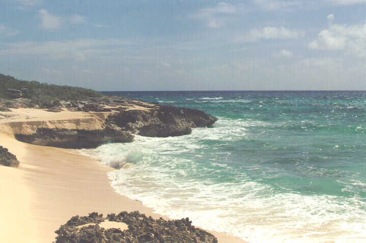
Beach where earth scientists spend most of their time. | |
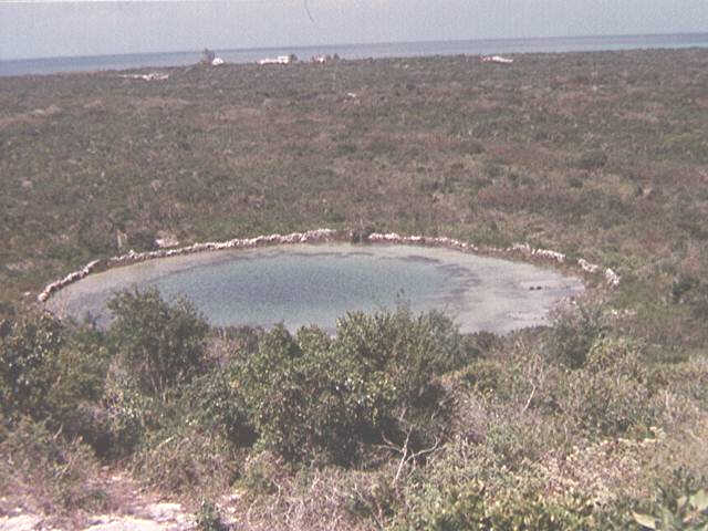
This picture shows a blue hole, formed by the dissolution of carbonate rocks. The darker shades indicate increasing water depth. |
|
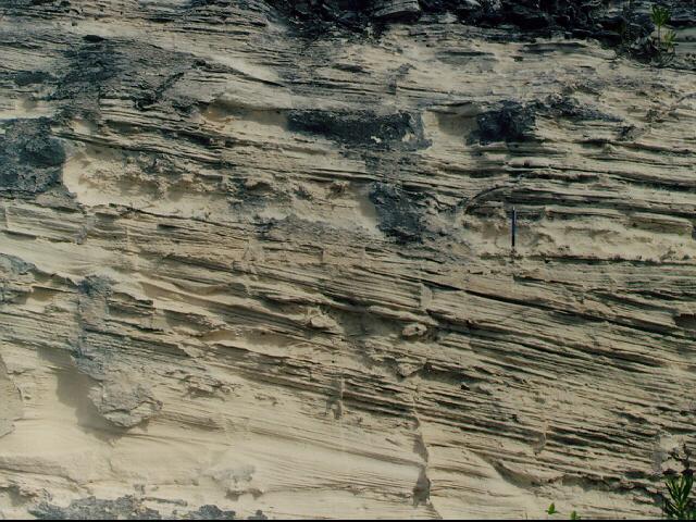
Tabular cross-stratification in an eolian dune. | |
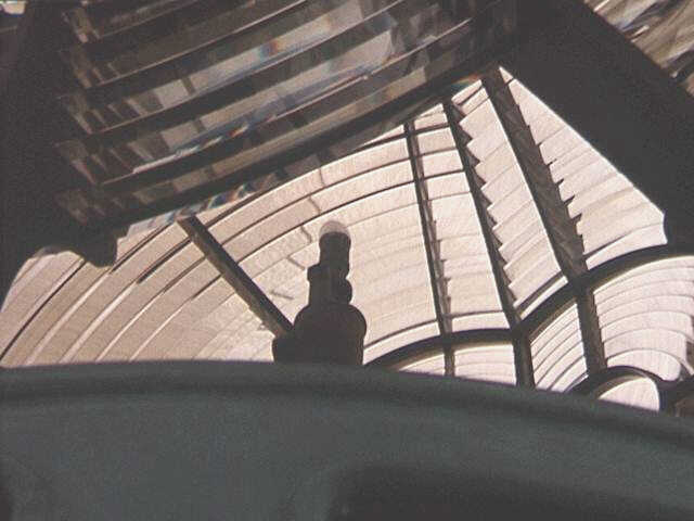
A close-up of the huge fresnel glass lens in the lighthouse. |
|
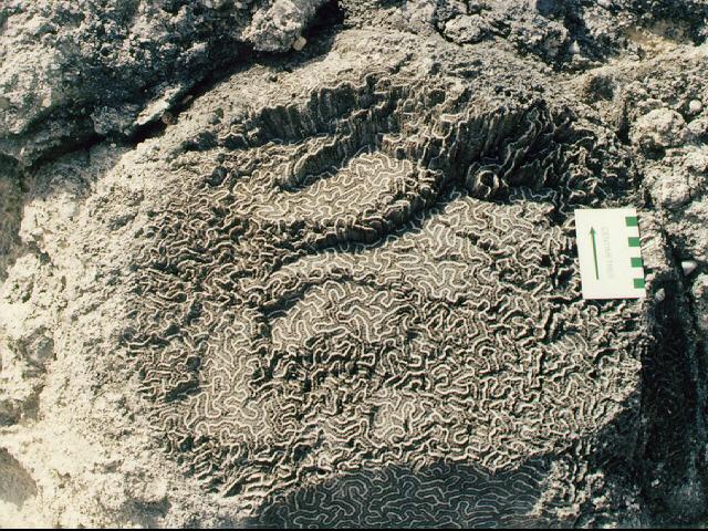
Photograph of an in situ brain coral, roughly six meters above present sea level. | |
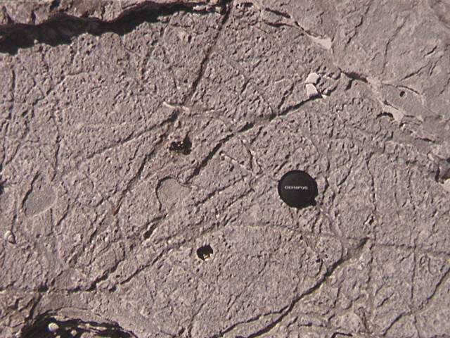
This picture depicts a suite of rhizomorphs, or root casts, preserved in the sedimentary rocks. |
The reason why I was in the Bahamas that time round
was because of a field conference. Here are some additional pics of some
people also attending the conference.
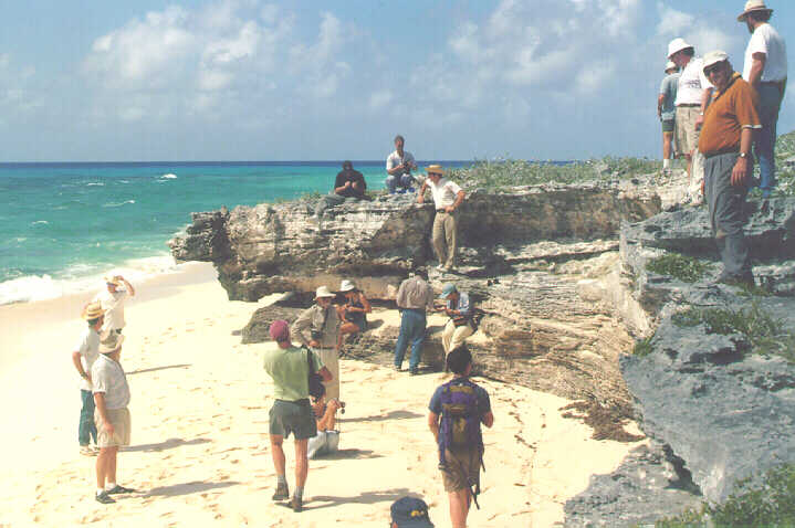 |
Group picture of the scientists attending the field conference. | 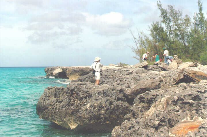 |
An intense geologist studying a raised coral reef put in place during the sea level high-stand of the Sangamon some 125 000 years ago. |
These pages have been viewed
times since April 2001.