Hazor Digital (Digital Archaeology)

Project partners
- Prof. Dr.-Ing. Dr. h.c. Thomas Luhmann(Close Range Photogrammetry - Camera Calibration - 3D Digitisation - UAV Photogrammetry - Dynamic Photogrammetry) - Institute for Applied Photogrammetry and Geoinformatics (IAPG), Jade University of Applied Sciences.
- Prof. Dr. Andreas Wichmann (Cartography and Geovisualisation) - Institute for Applied Photogrammetry and Geoinformatics (IAPG), Jade University of Applied Sciences.
- Dr Maria Chizhova (Digital 3D Heritage Technologies) - University of Bamberg.
- The Hebrew University of Jerusalem (HUJI; Israel)
- The Selz Foundation Hazor Excavations in Memory of Yigael Yadin
Hazor Digital (Digital Archaeology)
Hazor Digital (Digital Archaeology)
Prof Dr Benedikt Hensel
"Hazor Digital" and its research objectives
Digital methods have been tried and tested in archaeology for years and are already established in some areas - including geoinformation systems, databases, digital photography, digital 3D documentation and 3D scanning, virtual reconstructions, retro-digitisation of old analogue documentation (diaries, plans, drawings) as well as statistics, machine learning, artificial intelligence and agent-based simulations. At the same time, these methods in archaeological projects are often organised as individual case solutions: they address individual aspects (planum, profile, object, find inventory, image data, evaluation), are tailored to specific methods and only interact to a limited extent as an integrated overall process of field research. This is precisely where the Oldenburg research project "Hazor Digital" comes in and addresses two central aspects of digital field archaeology:
1. a data information system - a (field) archaeological processing pipeline
Theaim is to develop an integrated (field) archaeological processing pipeline that maps the excavation project as a continuous, multimodal digitised process - from excavation planning and organisation to ongoing field documentation, AI-supported evaluation, geovisualisation and presentation of the results as a classic publication in a web-based research environment, as well as a solution for long-term archiving of the research data. Data streams (text, photo, 3D, surveying, GIS) are consistently merged: imaging methods, georeferenced data input and mobile recording during the excavation (tablets/smartphones) feed directly into a common data information system, which will be developed for the requirements of a large-scale, stratigraphically complex excavation as part of "Hazor Digital". At the same time, the FAIR principles (Findable, Accessible, Interoperable, Reusable) are consistently applied: Data, metadata and workflows should be standardised, documented and versioned in such a way that they remain findable, accessible, interoperable and reusable in the long term - including clear responsibilities, interfaces and quality assurance routines in the field and in post-processing.
For the Oldenburg co-led excavation in Hazor (Israel), this means the transition from handwritten documentation and manually created plans (stone-based measurements) to a digital excavation documentation system in which daily documentation and excavation photography are recorded directly in the field - supplemented by regular, i.e. daily, three-dimensional and georeferenced documentation of the actively processed sections.
2. AI-supported, (partially) automated evaluation of the field archaeological features and finds in the data information system and pipeline
A central core component of the processing pipeline is the (partial) automation of the transfer of documentation products into analysable plan and analysis data: Marked features are assigned from orthomosaics on a stratum/epoch basis and converted into georeferenced vector data; image segmentation, vectorisation, georeferencing and (partially) automated feature annotation are integrated as key processes in a GIS pipeline and interlinked with the excavation database. In addition - as a particularly important research focus - AI-supported automatic image segmentation and object recognition in archaeological contexts, which has so far only reached a limited level of maturity and therefore requires systematic training, validation and iterative improvement. In particular, the focus is on automated wall recognition, stone detection and structure detection (e.g. wall crowns, stone settings, building remains, edge courses), which are typically generated by draughtsmen and manual surveying in classical excavation practice. The aim is to gradually transfer this previously highly manual translation work - from the findings in the planum to a representation that can be planned and analysed - into a reliable, quality-assured digital workflow that remains documented, reproducible and stratigraphically controllable.
At the same time, imaging optimisations (e.g. HDR) for elusive feature phenomena (soil discolouration, clay brick remains, profile layers) are being tested and coupled with 3D models and orthomosaics in order to support the evaluation analytically. On this basis, 3D models are to be stored in an accessible infrastructure so that they can be used as a visual and analytical reference during the fieldwork and evaluation phases (including survey data and feature/time markers). In the future, digital twins of the excavation - differentiated according to strata - can be created from this, which provide a basis for reconstructions and 3D visualisations at different historical points in time.
In addition, a key objective is to publish results more quickly and in a connectable way: via an interactive web hub with clear standards of data organisation, documentation and reusability in order to reach the specialist world quickly and at the same time provide a consistent multimodal basis for AI-supported analyses.

Fig.: Exemplary process plan of an archaeological excavation project
02-23 August 2026

"Hazor Digital: Season 2026"
The Oldenburg research project "Hazor Digital" continues its work in 2026 and tests central building blocks of an integrated digital excavation practice directly in the field. The focus will be on state-of-the-art surveying techniques, daily georeferenced 3D recording of the actively worked sections (including "next day" orthomosaics for documentation), geovisualisation and AI-supported evaluation approaches - in particular automatic image segmentation, wall and stone recognition. In 2026, the work will initially focus exclusively on the Upper Town and on areas with Iron Age I-II features (M22, M4, M68, M69). Together with specialists from Jade University (IAPG) and Digital Technologies in Heritage Conservation (University of Bamberg), different methods (static and mobile scanners, photogrammetry, smartphone workflows) will be systematically compared and further developed into a powerful processing pipeline that combines documentation and evaluation in a joint data information system.
03-22 August 2025
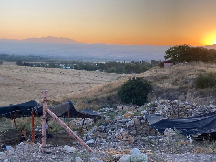
"Hazor Digital": Hazor Season 2025
The Oldenburg team led by Benedikt Hensel is currently developing digital recording and evaluation methods in order to drive forward the digital transformation processes that are enabling the indexing, recording, digitisation, storage, organisation and evaluation of aspects of the materiality of excavations, objects and the materiality of written material as a result of the so-called digital revolution. From 2025, these methods will be trialled on site as part of the Oldenburg "Hazor Digital" project.
This includes state-of-the-art surveying techniques, 3D digitisation and visualisation (multi-spectral), geovisualisation, spatial AI and AI-assisted analysis methods. Jade University's specialists from the Institute of Applied Photogrammetry and Geoinformatics(IAPG) will also be taking part.
The excavations as part of Season 2025 will take place from 3 to 22 August 2025. We cordially invite you to an information evening on 19 December at 18:30 in the "Villa Geistreich", Oldenburg or digitally via: meeting.uol.de/rooms/qub-zix-bor-ezt/join.